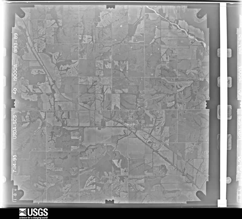
| Data Set Attribute | Attribute Value |
|---|---|
| Entity ID | N10NAPPW08193089 |
| Project | NAPPW |
| Project Number | 9449 |
| Roll | 8193 |
| Frame | 89 |
| Acquisition Date | 1995/07/14 |
| Camera | 124237 |
| Lens | 124285 |
| Calibrated Focal Length | 0 |
| Film Type | Black and White |
| FlightLine | 0944W |
| Station | 533 |
| State | IA |
| County | RINGGOLD |
| Center Latitude | 40°37'30"N |
| Center Longitude | 94°28'07.50"W |
| NW Corner Lat | 40°39'57.85"N |
| NW Corner Long | 94°31'22.30"W |
| NE Corner Lat | 40°39'57.85"N |
| NE Corner Long | 94°24'52.70"W |
| SE Corner Lat | 40°35'02.15"N |
| SE Corner Long | 94°24'52.70"W |
| SW Corner Lat | 40°35'02.15"N |
| SW Corner Long | 94°31'22.30"W |
| Center Latitude dec | 40.625 |
| Center Longitude dec | -94.46875 |
| NW Corner Lat dec | 40.66607 |
| NW Corner Long dec | -94.52286 |
| NE Corner Lat dec | 40.66607 |
| NE Corner Long dec | -94.41464 |
| SE Corner Lat dec | 40.58393 |
| SE Corner Long dec | -94.41464 |
| SW Corner Lat dec | 40.58393 |
| SW Corner Long dec | -94.52286 |