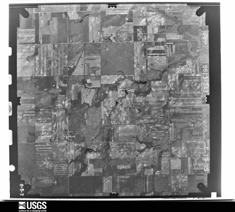
Full Display of N10NAPPW08613243

Standard Browse
Rotate 90° Left
Rotate 90° Right

Scene Metadata
Data Set Attribute Attribute Value
Entity ID N10NAPPW08613243
Project NAPPW
Project Number 9525
Roll 8613
Frame 243
Acquisition Date 1995/06/19
Camera 119044
Lens 118987
Calibrated Focal Length 153.076
Film Type Black and White
FlightLine 1016E
Station 717
State ND
County GRANT
Center Latitude 46°22'30"N
Center Longitude 101°39'22.50"W
NW Corner Lat 46°24'57.85"N
NW Corner Long 101°42'56.81"W
NE Corner Lat 46°24'57.85"N
NE Corner Long 101°35'48.19"W
SE Corner Lat 46°20'02.15"N
SE Corner Long 101°35'48.19"W
SW Corner Lat 46°20'02.15"N
SW Corner Long 101°42'56.81"W
Center Latitude dec 46.375
Center Longitude dec -101.65625
NW Corner Lat dec 46.41607
NW Corner Long dec -101.71578
NE Corner Lat dec 46.41607
NE Corner Long dec -101.59672
SE Corner Lat dec 46.33393
SE Corner Long dec -101.59672
SW Corner Lat dec 46.33393
SW Corner Long dec -101.71578