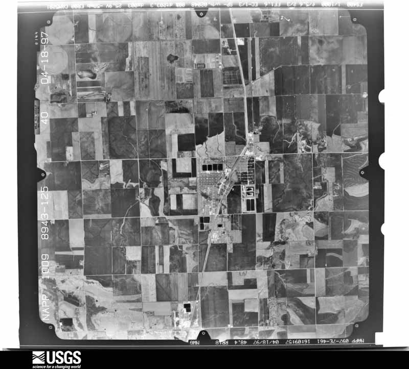
| Data Set Attribute | Attribute Value |
|---|---|
| Entity ID | N10NAPPW08943125 |
| Project | NAPPW |
| Project Number | 9609 |
| Roll | 8943 |
| Frame | 125 |
| Acquisition Date | 1997/04/18 |
| Camera | 5281 |
| Lens | 13049 |
| Calibrated Focal Length | 152.803 |
| Film Type | Black and White |
| FlightLine | 0977E |
| Station | 461 |
| State | KS |
| County | MCPHERSON |
| Center Latitude | 38°22'30"N |
| Center Longitude | 97°46'52.50"W |
| NW Corner Lat | 38°24'57.85"N |
| NW Corner Long | 97°50'01.10"W |
| NE Corner Lat | 38°24'57.85"N |
| NE Corner Long | 97°43'43.90"W |
| SE Corner Lat | 38°20'02.15"N |
| SE Corner Long | 97°43'43.90"W |
| SW Corner Lat | 38°20'02.15"N |
| SW Corner Long | 97°50'01.10"W |
| Center Latitude dec | 38.375 |
| Center Longitude dec | -97.78125 |
| NW Corner Lat dec | 38.41607 |
| NW Corner Long dec | -97.83364 |
| NE Corner Lat dec | 38.41607 |
| NE Corner Long dec | -97.72886 |
| SE Corner Lat dec | 38.33393 |
| SE Corner Long dec | -97.72886 |
| SW Corner Lat dec | 38.33393 |
| SW Corner Long dec | -97.83364 |