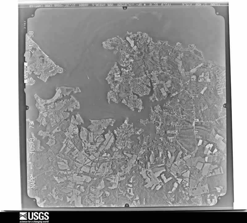
Full Display of N10NAPPW10579073

Standard Browse
Rotate 90° Left
Rotate 90° Right

Scene Metadata
Data Set Attribute Attribute Value
Entity ID N10NAPPW10579073
Project NAPPW
Project Number 9813
Roll 10579
Frame 73
Acquisition Date 1998/02/10
Camera 5160
Lens 13232
Calibrated Focal Length 152.874
Film Type Black and White
FlightLine 0765E
Station 476
State MD
County ANNE ARUNDEL
Center Latitude 38°50'37.50"N
Center Longitude 76°31'52.50"W
NW Corner Lat 38°53'05.35"N
NW Corner Long 76°35'02.33"W
NE Corner Lat 38°53'05.35"N
NE Corner Long 76°28'42.67"W
SE Corner Lat 38°48'09.65"N
SE Corner Long 76°28'42.67"W
SW Corner Lat 38°48'09.65"N
SW Corner Long 76°35'02.33"W
Center Latitude dec 38.84375
Center Longitude dec -76.53125
NW Corner Lat dec 38.88482
NW Corner Long dec -76.58398
NE Corner Lat dec 38.88482
NE Corner Long dec -76.47852
SE Corner Lat dec 38.80268
SE Corner Long dec -76.47852
SW Corner Lat dec 38.80268
SW Corner Long dec -76.58398