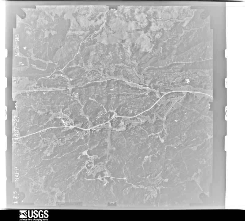
Full Display of N10NAPPW11407027

Standard Browse
Rotate 90° Left
Rotate 90° Right

Scene Metadata
Data Set Attribute Attribute Value
Entity ID N10NAPPW11407027
Project NAPPW
Project Number 9634
Roll 11407
Frame 27
Acquisition Date 1998/09/02
Camera 111683
Lens 112649
Calibrated Focal Length 153.206
Film Type Black and White
FlightLine 1035W
Station 631
State SD
County CUSTER
Center Latitude 43°41'15"N
Center Longitude 103°35'37.50"W
NW Corner Lat 43°43'42.85"N
NW Corner Long 103°39'01.98"W
NE Corner Lat 43°43'42.85"N
NE Corner Long 103°32'13.02"W
SE Corner Lat 43°38'47.15"N
SE Corner Long 103°32'13.02"W
SW Corner Lat 43°38'47.15"N
SW Corner Long 103°39'01.98"W
Center Latitude dec 43.6875
Center Longitude dec -103.59375
NW Corner Lat dec 43.72857
NW Corner Long dec -103.65055
NE Corner Lat dec 43.72857
NE Corner Long dec -103.53695
SE Corner Lat dec 43.64643
SE Corner Long dec -103.53695
SW Corner Lat dec 43.64643
SW Corner Long dec -103.65055