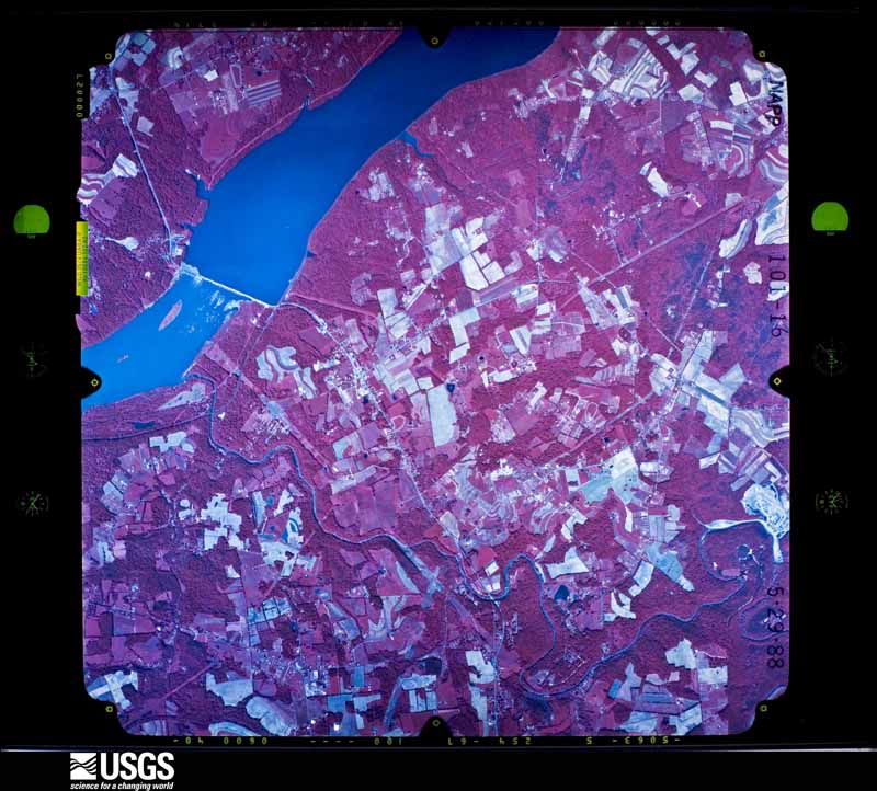
| Data Set Attribute | Attribute Value |
|---|---|
| Entity ID | NP0NAPP000101016 |
| Project | NAPP |
| Project Number | 8707 |
| Roll | 101 |
| Frame | 16 |
| Acquisition Date | 1988/05/29 |
| Camera | 5063 |
| Lens | 13094 |
| Calibrated Focal Length | 152.819 |
| Film Type | Color Infrared |
| FlightLine | 0762E |
| Station | 503 |
| State | MD |
| County | CECIL |
| Center Latitude | 39°41'15"N |
| Center Longitude | 76°09'22.50"W |
| NW Corner Lat | 39°43'42.85"N |
| NW Corner Long | 76°12'34.63"W |
| NE Corner Lat | 39°43'42.85"N |
| NE Corner Long | 76°06'10.37"W |
| SE Corner Lat | 39°38'47.15"N |
| SE Corner Long | 76°06'10.37"W |
| SW Corner Lat | 39°38'47.15"N |
| SW Corner Long | 76°12'34.63"W |
| Center Latitude dec | 39.6875 |
| Center Longitude dec | -76.15625 |
| NW Corner Lat dec | 39.72857 |
| NW Corner Long dec | -76.20962 |
| NE Corner Lat dec | 39.72857 |
| NE Corner Long dec | -76.10288 |
| SE Corner Lat dec | 39.64643 |
| SE Corner Long dec | -76.10288 |
| SW Corner Lat dec | 39.64643 |
| SW Corner Long dec | -76.20962 |