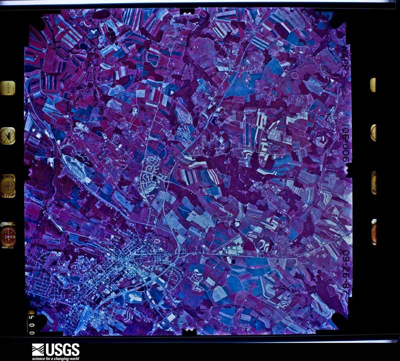
| Data Set Attribute | Attribute Value |
|---|---|
| Entity ID | NP0NAPP000106006 |
| Project | NAPP |
| Project Number | 8708 |
| Roll | 106 |
| Frame | 6 |
| Acquisition Date | 1987/09/26 |
| Camera | 137481 |
| Lens | 137511 |
| Calibrated Focal Length | 153.715 |
| Film Type | Color Infrared |
| FlightLine | 0771E |
| Station | 500 |
| State | MD |
| County | CARROLL |
| Center Latitude | 39°35'37.50"N |
| Center Longitude | 77°01'52.50"W |
| NW Corner Lat | 39°38'05.35"N |
| NW Corner Long | 77°05'04.38"W |
| NE Corner Lat | 39°38'05.35"N |
| NE Corner Long | 76°58'40.62"W |
| SE Corner Lat | 39°33'09.65"N |
| SE Corner Long | 76°58'40.62"W |
| SW Corner Lat | 39°33'09.65"N |
| SW Corner Long | 77°05'04.38"W |
| Center Latitude dec | 39.59375 |
| Center Longitude dec | -77.03125 |
| NW Corner Lat dec | 39.63482 |
| NW Corner Long dec | -77.08455 |
| NE Corner Lat dec | 39.63482 |
| NE Corner Long dec | -76.97795 |
| SE Corner Lat dec | 39.55268 |
| SE Corner Long dec | -76.97795 |
| SW Corner Lat dec | 39.55268 |
| SW Corner Long dec | -77.08455 |