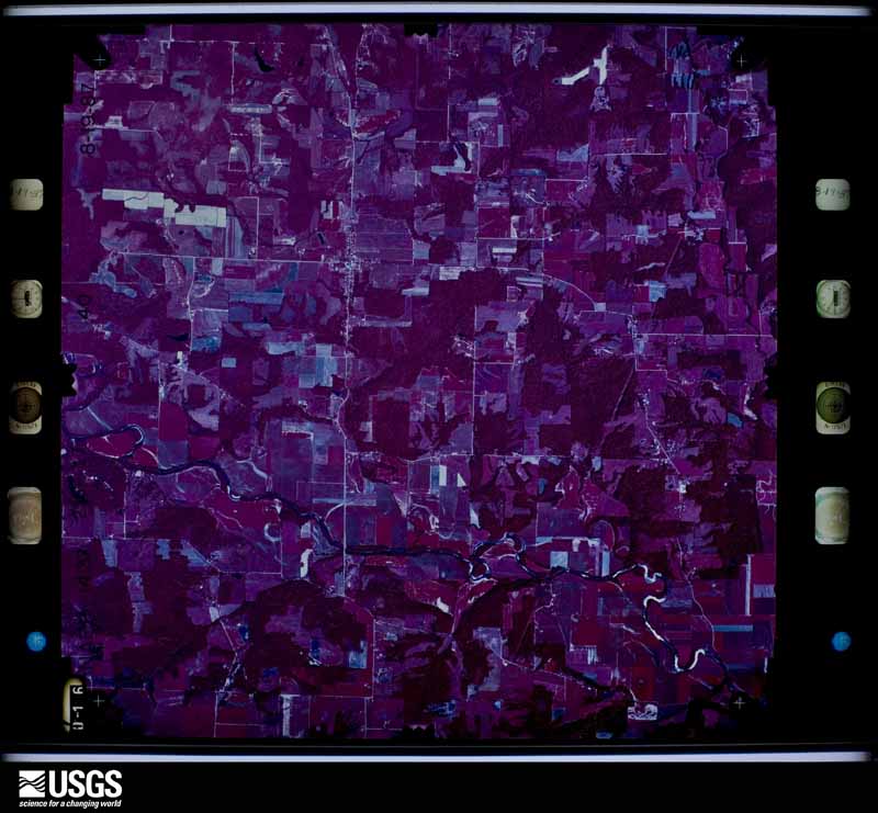
| Data Set Attribute | Attribute Value |
|---|---|
| Entity ID | NP0NAPP000235017 |
| Project | NAPP |
| Project Number | 8714 |
| Roll | 235 |
| Frame | 17 |
| Acquisition Date | 1987/08/19 |
| Camera | 137472 |
| Lens | 137502 |
| Calibrated Focal Length | 153.689 |
| Film Type | Color Infrared |
| FlightLine | 0868W |
| Station | 495 |
| State | IN |
| County | CLAY |
| Center Latitude | 39°26'15"N |
| Center Longitude | 86°58'07.50"W |
| NW Corner Lat | 39°28'42.85"N |
| NW Corner Long | 87°01'18.95"W |
| NE Corner Lat | 39°28'42.85"N |
| NE Corner Long | 86°54'56.05"W |
| SE Corner Lat | 39°23'47.15"N |
| SE Corner Long | 86°54'56.05"W |
| SW Corner Lat | 39°23'47.15"N |
| SW Corner Long | 87°01'18.95"W |
| Center Latitude dec | 39.4375 |
| Center Longitude dec | -86.96875 |
| NW Corner Lat dec | 39.47857 |
| NW Corner Long dec | -87.02193 |
| NE Corner Lat dec | 39.47857 |
| NE Corner Long dec | -86.91557 |
| SE Corner Lat dec | 39.39643 |
| SE Corner Long dec | -86.91557 |
| SW Corner Lat dec | 39.39643 |
| SW Corner Long dec | -87.02193 |