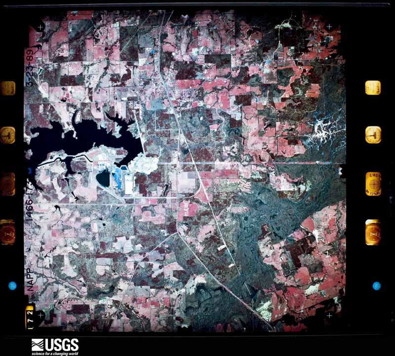
| Data Set Attribute | Attribute Value |
|---|---|
| Entity ID | NP0NAPP001466173 |
| Project | NAPP |
| Project Number | 8950 |
| Roll | 1466 |
| Frame | 173 |
| Acquisition Date | 1989/03/23 |
| Camera | 137481 |
| Lens | 137511 |
| Calibrated Focal Length | 153.715 |
| Film Type | Color Infrared |
| FlightLine | 0947W |
| Station | 290 |
| State | TX |
| County | TITUS |
| Center Latitude | 33°01'52.50"N |
| Center Longitude | 94°50'37.50"W |
| NW Corner Lat | 33°04'20.35"N |
| NW Corner Long | 94°53'33.86"W |
| NE Corner Lat | 33°04'20.35"N |
| NE Corner Long | 94°47'41.14"W |
| SE Corner Lat | 32°59'24.65"N |
| SE Corner Long | 94°47'41.14"W |
| SW Corner Lat | 32°59'24.65"N |
| SW Corner Long | 94°53'33.86"W |
| Center Latitude dec | 33.03125 |
| Center Longitude dec | -94.84375 |
| NW Corner Lat dec | 33.07232 |
| NW Corner Long dec | -94.89274 |
| NE Corner Lat dec | 33.07232 |
| NE Corner Long dec | -94.79476 |
| SE Corner Lat dec | 32.99018 |
| SE Corner Long dec | -94.79476 |
| SW Corner Lat dec | 32.99018 |
| SW Corner Long dec | -94.89274 |