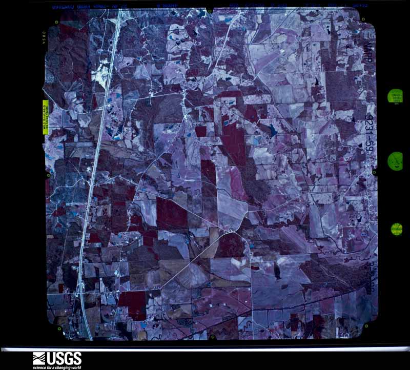
Full Display of NP0NAPP009231059

Standard Browse
Rotate 90° Left
Rotate 90° Right

Scene Metadata
Data Set Attribute Attribute Value
Entity ID NP0NAPP009231059
Project NAPP
Project Number 9621
Roll 9231
Frame 59
Acquisition Date 1996/03/02
Camera 5160
Lens 13232
Calibrated Focal Length 152.883
Film Type Color Infrared
FlightLine 0892E
Station 331
State MS
County PONTOTOC
Center Latitude 34°18'45"N
Center Longitude 89°09'22.50"W
NW Corner Lat 34°21'12.85"N
NW Corner Long 89°12'21.49"W
NE Corner Lat 34°21'12.85"N
NE Corner Long 89°06'23.51"W
SE Corner Lat 34°16'17.15"N
SE Corner Long 89°06'23.51"W
SW Corner Lat 34°16'17.15"N
SW Corner Long 89°12'21.49"W
Center Latitude dec 34.3125
Center Longitude dec -89.15625
NW Corner Lat dec 34.35357
NW Corner Long dec -89.20597
NE Corner Lat dec 34.35357
NE Corner Long dec -89.10653
SE Corner Lat dec 34.27143
SE Corner Long dec -89.10653
SW Corner Lat dec 34.27143
SW Corner Long dec -89.20597