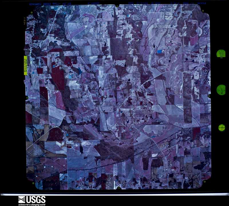
| Data Set Attribute | Attribute Value |
|---|---|
| Entity ID | NP0NAPP009231060 |
| Project | NAPP |
| Project Number | 9621 |
| Roll | 9231 |
| Frame | 60 |
| Acquisition Date | 1996/03/02 |
| Camera | 5160 |
| Lens | 13232 |
| Calibrated Focal Length | 152.883 |
| Film Type | Color Infrared |
| FlightLine | 0892E |
| Station | 332 |
| State | MS |
| County | PONTOTOC |
| Center Latitude | 34°20'37.50"N |
| Center Longitude | 89°09'22.50"W |
| NW Corner Lat | 34°23'05.35"N |
| NW Corner Long | 89°12'21.56"W |
| NE Corner Lat | 34°23'05.35"N |
| NE Corner Long | 89°06'23.44"W |
| SE Corner Lat | 34°18'09.65"N |
| SE Corner Long | 89°06'23.44"W |
| SW Corner Lat | 34°18'09.65"N |
| SW Corner Long | 89°12'21.56"W |
| Center Latitude dec | 34.34375 |
| Center Longitude dec | -89.15625 |
| NW Corner Lat dec | 34.38482 |
| NW Corner Long dec | -89.20599 |
| NE Corner Lat dec | 34.38482 |
| NE Corner Long dec | -89.10651 |
| SE Corner Lat dec | 34.30268 |
| SE Corner Long dec | -89.10651 |
| SW Corner Lat dec | 34.30268 |
| SW Corner Long dec | -89.20599 |