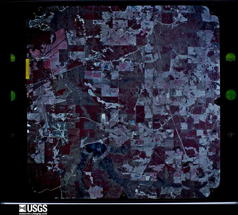
Full Display of NP0NAPP009233066

Standard Browse
Rotate 90° Left
Rotate 90° Right

Scene Metadata
Data Set Attribute Attribute Value
Entity ID NP0NAPP009233066
Project NAPP
Project Number 9621
Roll 9233
Frame 66
Acquisition Date 1996/03/02
Camera 5110
Lens 13144
Calibrated Focal Length 152.994
Film Type Color Infrared
FlightLine 0891E
Station 280
State MS
County NESHOBA
Center Latitude 32°43'07.50"N
Center Longitude 89°01'52.50"W
NW Corner Lat 32°45'35.35"N
NW Corner Long 89°04'48.25"W
NE Corner Lat 32°45'35.35"N
NE Corner Long 88°58'56.75"W
SE Corner Lat 32°40'39.65"N
SE Corner Long 88°58'56.75"W
SW Corner Lat 32°40'39.65"N
SW Corner Long 89°04'48.25"W
Center Latitude dec 32.71875
Center Longitude dec -89.03125
NW Corner Lat dec 32.75982
NW Corner Long dec -89.08007
NE Corner Lat dec 32.75982
NE Corner Long dec -88.98243
SE Corner Lat dec 32.67768
SE Corner Long dec -88.98243
SW Corner Lat dec 32.67768
SW Corner Long dec -89.08007