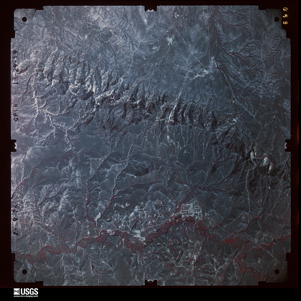
Full Display of AR4CPIR18029059

Standard Browse
Rotate 90° Left
Rotate 90° Right

Scene Metadata
Data Set Attribute Attribute Value
Entity ID AR4CPIR18029059
Agency 4
Vendor ID WY-76-CPIR-18-29-59
Recording Technique 1
Project CPIR0
Event
Roll 000018
Frame 59
Acquisition Date 1976/07/09
Scale 31680
High Resolution Download Avail 1
Strip Number 0029
Image Type 13
Quality 8
Cloud Cover 0
Photo ID 4CPIR18029059
Flying Height in Feet 15840
Film Length and Width 229mm x 229mm
Focal Length 153.36 mm
Stereo Overlap 6
Other WY-76-CPIR
Center Latitude 43°37'19.63"N
Center Longitude 106°12'37.19"W
NW Corner Lat 43°39'11.17"N
NW Corner Long 106°14'40.03"W
NE Corner lat 43°39'22.48"N
NE Corner Long 106°10'45.65"W
SE Corner Lat 43°35'28.09"N
SE Corner Long 106°10'34.34"W
SW Corner Lat 43°35'16.79"N
SW Corner Long 106°14'28.73"W
Center Latitude dec 43.62212000999578
Center Longitude dec -106.21032999999657
NW Corner Lat dec 43.65310291
NW Corner Long dec -106.2444535
NE Corner Lat dec 43.65624352
NE Corner Long dec -106.1793471
SE Corner Lat dec 43.59113711
SE Corner Long dec -106.1762065
SW Corner Lat dec 43.5879965
SW Corner Long dec -106.2413129