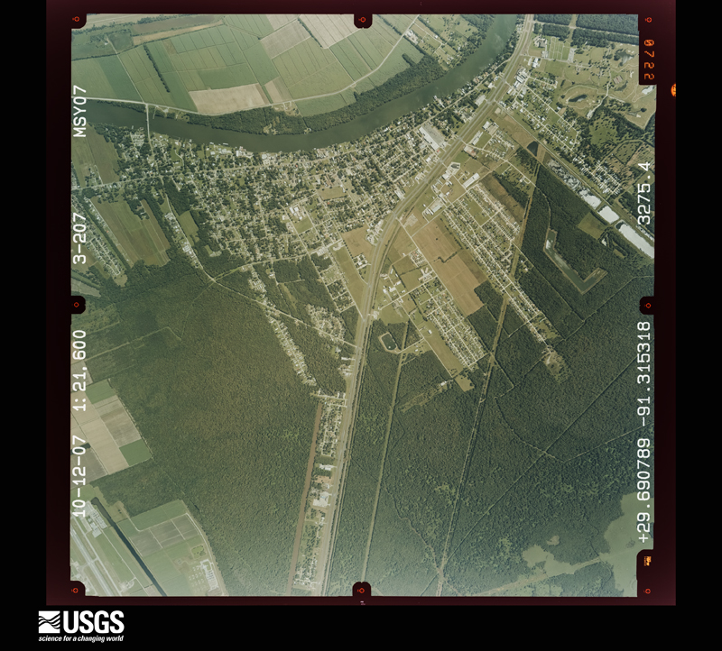
Full Display of ARUMSY070030207

Standard Browse
Rotate 90° Left
Rotate 90° Right

Scene Metadata
Data Set Attribute Attribute Value
Entity ID ARUMSY070030207
Agency U
Vendor ID
Recording Technique 1
Project MSY07
Event
Roll 000003
Frame 207
Acquisition Date 2007/10/12
Scale 21600
High Resolution Download Avail 1
Strip Number 0000
Image Type 14
Quality 8
Cloud Cover 0
Photo ID UMSY070030207
Flying Height in Feet 10800
Film Length and Width 229mm x 229mm
Focal Length 153.03 mm
Stereo Overlap 7
Other LOUISIANA
Center Latitude 29°41'26.82"N
Center Longitude 91°18'55.15"W
NW Corner Lat 29°42'48.46"N
NW Corner Long 91°20'25.29"W
NE Corner lat 29°42'45.52"N
NE Corner Long 91°17'21.64"W
SE Corner Lat 29°40'05.21"N
SE Corner Long 91°17'25.04"W
SW Corner Lat 29°40'08.14"N
SW Corner Long 91°20'28.60"W
Center Latitude dec 29.690782
Center Longitude dec -91.315318
NW Corner Lat dec 29.71346
NW Corner Long dec -91.340357
NE Corner Lat dec 29.712644
NE Corner Long dec -91.289345
SE Corner Lat dec 29.668114
SE Corner Long dec -91.29029
SW Corner Lat dec 29.668929
SW Corner Long dec -91.341279